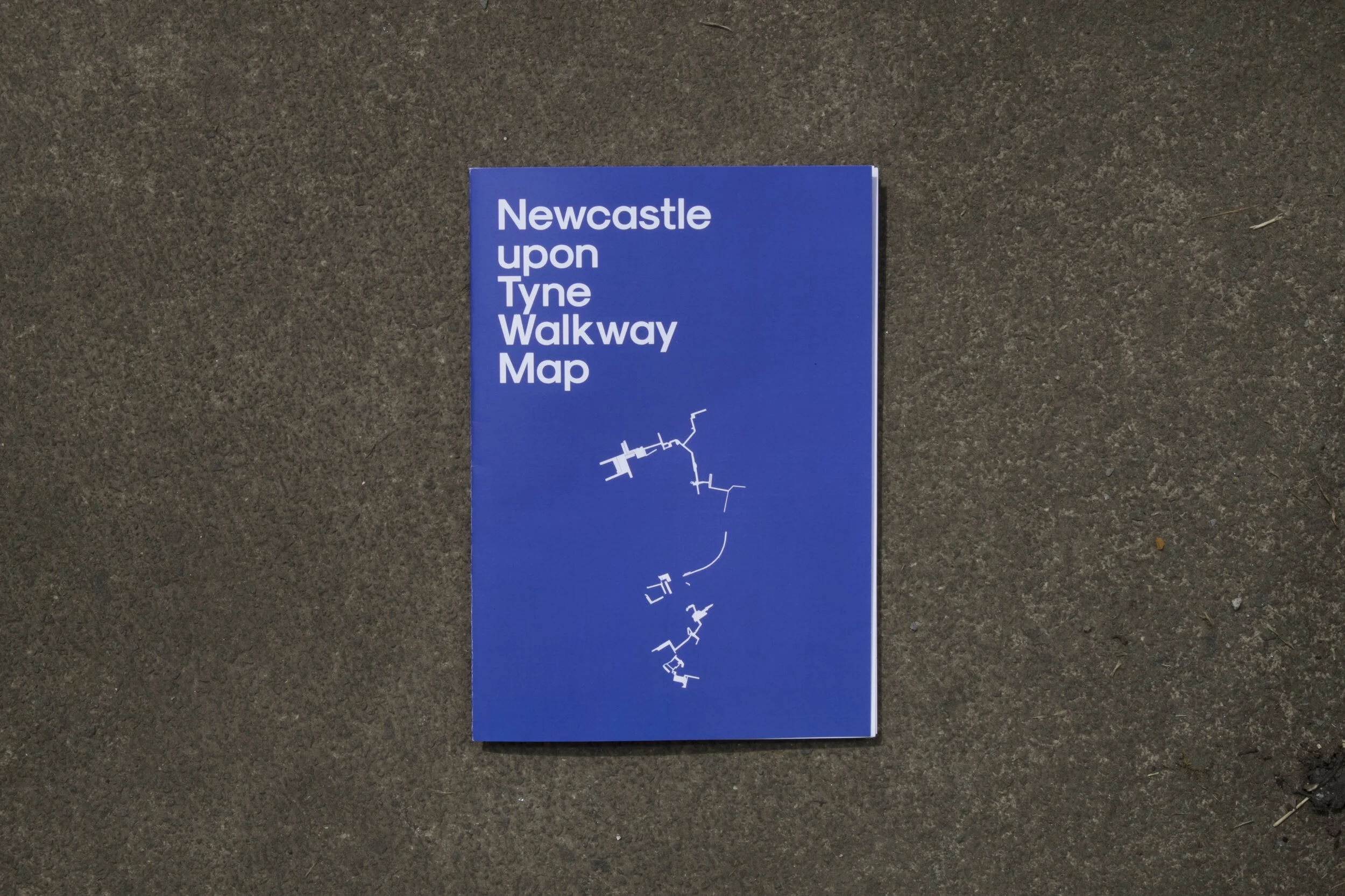


Newcastle Upon Tyne Walkway Map
by Alex Taylor, in collaboration with Michael Jeffries (text) and Euan Lynn (photographs)
More information here: Newcastle-Upon-Tyne Modernist Society
Lisle Street Service Level, Princess Square
Digital photograph. 2018.
Ellison Place Walkway, MEA House
Digital photograph. 2018.
Durant Road Walkway, Hadrian House
Digital photograph. 2018.
Oxford Street Walkway, Premier Inn
Digital photograph. 2018.
New Bridge Walkway, Central Motorway
Digital photograph. 2018.
Manors Walkway, Central Motorway
Digital photograph. 2018.
Underpass to Dean Street, Central Motorway
Digital photograph. 2018.
Stairs & Plaza, Cale Cross House
Digital photograph. 2018.